4/21/2006

2/20/2000
4/21/2006
4/21/2006
2/20/2000
4/21/2006
6/14/2004
6/14/2004
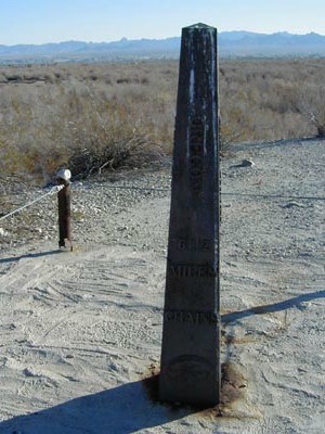
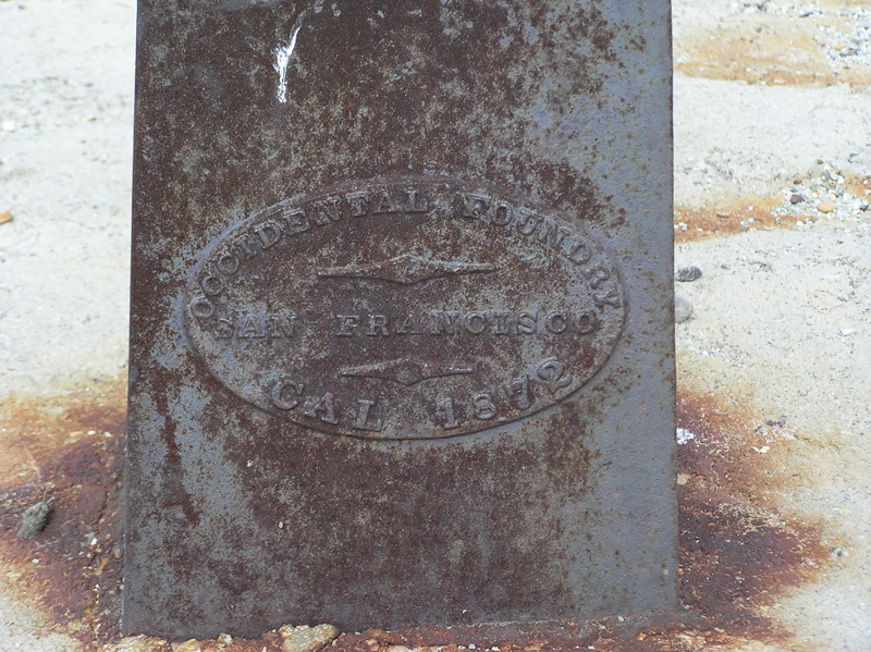
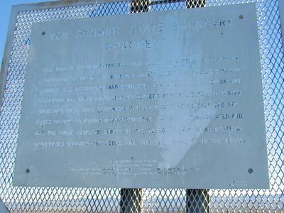
Von Schmidt State Boundary Monument
This marker commemorates the iron column erected in 1873, the southernmost tip of the boundary survey line run by Allexy W. Von Schmidt, U.S. astronomer and surveyor. The line dividing Nevada and California was based on preliminary geodesic work by Lieutenant Joseph Christmas Ives. Ives determined the Colorado River end of the proposed oblique California-Nevada boundary. Von Schmidt calculated and ran the first complete survey of the boundary. His solar observations erred slightly - the actual line now being 3/4 mile to the north.
6/14/2004
Landmark information
- Location:
E side of Pew Rd (River Rd), 2.6 mi S of state line, 14 mi N of Needles - Plaque:
Official State Plaque - Site:
Existing - Date First Visited:
1/29/2000 - Date Most Recently Visited:
4/21/2006 - GPS Coordinates:
N 35 0.845, W 114 39.717
About this landmark
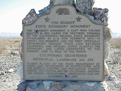
Plaque text:
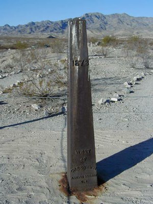
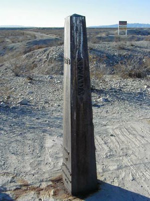
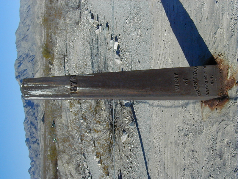
Von Schmidt State Boundary Monument
This boundary monument, a cast iron column erected in 1873, marks the southern terminus of the California-Nevada State boundary established by A.W. Von Schmidt's 1872-73 survey. Von Schmidt's line, the first officially recognized oblique state line between California and Nevada, erred slightly; the boundary was later corrected to the present line, 3/4 mile to the north.
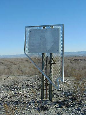
Note
This site is also a Nevada State Landmark - the only one located in California.