8/4/2000
8/4/2000
7/6/2023
Landmark information
- Location:
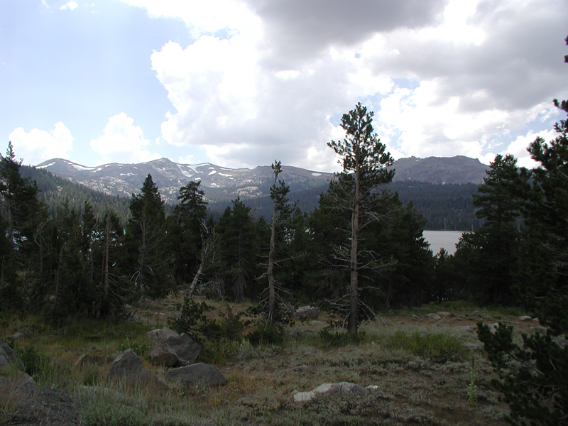
Lake Caples, Hwy 88 (PM 2.4), 17.3 mi W of Woodfords - Plaque:
Official State Plaque - Site:
Nothing remains - Date First Visited:
8/4/2000 - Date Most Recently Visited:
7/6/2023 - GPS Coordinates:
N 38 42.176, W 120 2.195
About this landmark
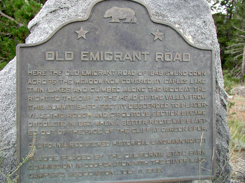
Plaque text:
Old Emigrant Road
Here the old emigrant road of 1848 swung down across the meadow now covered by Caples lake (Twin Lakes) and climbed along the ridge at the right to the gap at the head of the valley. From this summit (9,460 feet) it descended to Placerville. This rough and circuitous section became obsolete in 1863 when a better route was blasted out of the face of the cliff at Carson Spur.