10/11/1997
Landmark information
- Location:
32183 Kentucky St, Yucaipa - Plaque:
Official State Plaque - Site:
Nothing Remains - Date First Visited:
10/11/1997 - Date Most Recently Visited:
10/11/1997 - GPS Coordinates:
N 34 1.346, W 117 6.122
About this landmark
Plaque text:
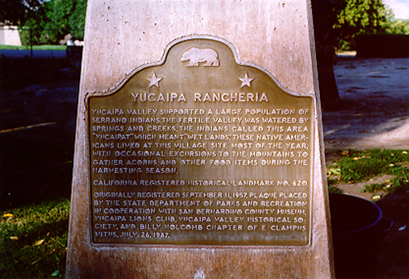
Yucaipa Rancheria
Yucaipa Valley supported a large population of Serrano indians. The fertile valley was watered by springs and creeks, The indians called this area "Yucaipat" which meant "wet lands." These Native Americans lived at this village site most of the year, with occasional excursions to the mountains to gather acorns and other food items during the harvesting season.