6/12/2020
6/12/2020
Landmark information
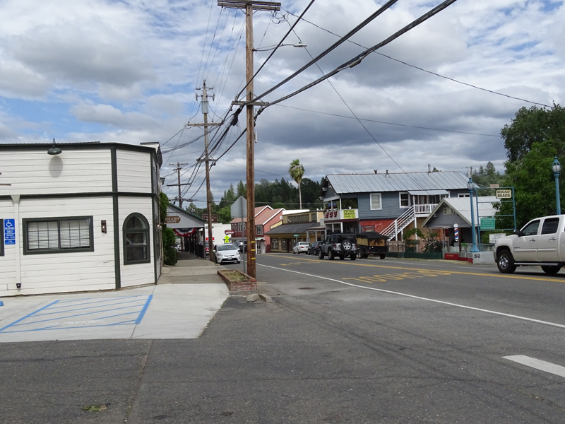
- Location:
NW corner of Hwy 49 and McHatten Alley, Diamond Springs - Plaque:
Official State Plaque - Site:
Existing - Date First Visited:
12/27/1995 - Date Most Recently Visited:
6/12/2020 - GPS Coordinates:
N 38 41.645, W 120 49.034
About this landmark
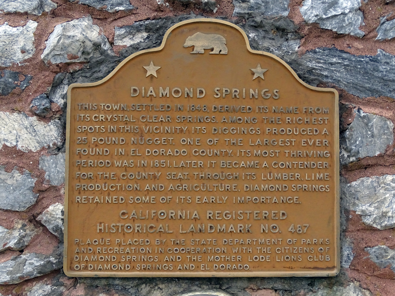
Plaque text:
Diamond Springs
This town, settled in 1848, derived its name from its crystal clear springs. Among the richest spots in this vicinity, its diggings produced a 25 pound nugget, one of the largest ever found in El Dorado County. Its most thriving period was in 1851. Later it became a contender for the county seat. Through its lumber, lime production and agriculture, Diamond Springs retained some of its early importance.