3/16/2019
3/16/2019
5/4/1996
3/16/2019
Landmark information
- Location:
Intersection of State Hwy 20 and Reclamation Rd, 1.7 mi SE of Upper Lake - Plaque:
Official State Plaque - Site:
Existing - Date First Visited:
5/4/1996 - Date Most Recently Visited:
3/16/2019 - GPS Coordinates:
N 39 8.934, W 122 53.266
About this landmark
New Plaque text:
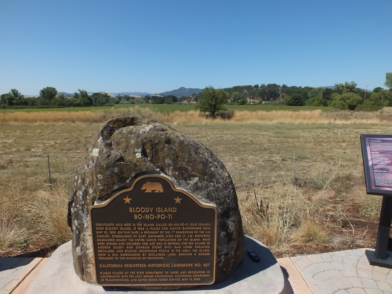
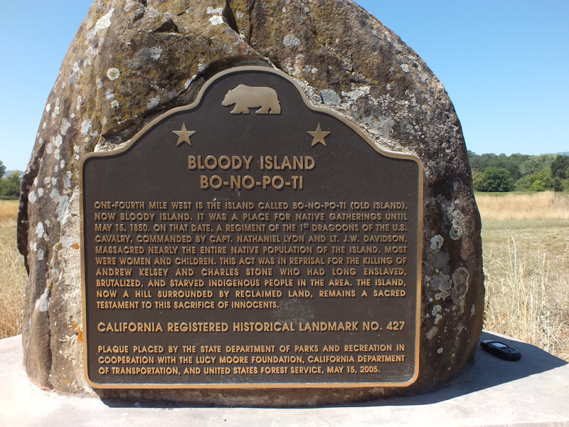
Bloody Island
One-fourth mile west is the island called Bo-No-Po0Ti (Old Island), now Bloody Island. It was a place for native gatherings until May 15, 1850. On that date, a regiment of the 1st Dragoons of the U.S. Cavalry, commanded by Capt. Nathaniel Lyon and Lt. J.W. Davidson, massacred nearly the entire native population of the island. Most were women and children. This act was in reprisal for the killing of Andrew Kelsey and Charles Stone who had long enslaved, brutalized, and starved indigenous people in the area. The island, now a hill surrounded by reclaimed land, remains a sacred testament to this sacrifice of innocents.
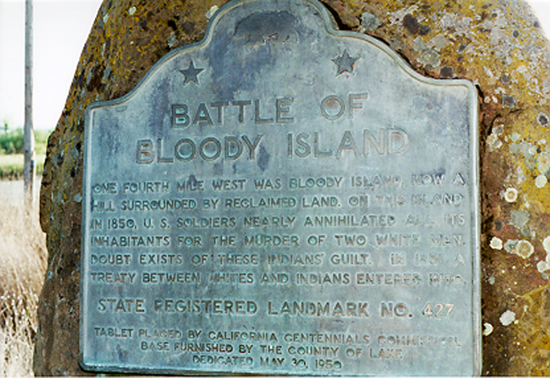
Former Plaque text:
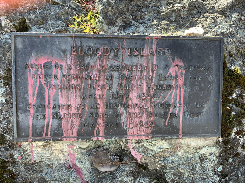
Battle of Bloody Island
One fourth mile west was Bloody Island, now a hill surrounded by reclaimed land. On this island in 1850, U.S. soldiers nearly annihilated all its inhabitants for the murder of two white men. Doubt exists of these indians' guilt. In 1851 a treaty between whites and indians entered into.